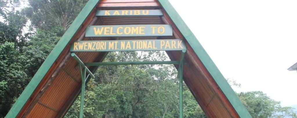
Mountain Rwenzori National Park is situated in western Uganda, that is, about 440km west of Kampala, the capital of Uganda. Mountain Rwenzori itself is locally known as ‘Mountains of the Moon’.
Along the equator and in the districts of Kabarole, Kasese and Bundibugyo rests Africa’s third highest mountain, known as Rwenzori and hiking shall be a milestone you will never forget.
Rwenzori mountains are situated in the East African rift valley and straddle also to the Democratic Republic of Congo (DRC) and its conservation area known as Virunga National Park. As a result, Rwenzori is the highest block mountain in the whole of Africa.
The mountain lies between Kibale Forest National Park & Queen Elizabeth National Park in the western tourism circuit of Uganda.
Features of Rwenzori Mountain

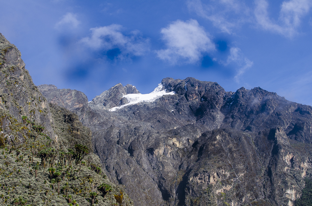
Margherita peak is the highest peak (5,109m) of all the Rwenzori mountain ranges, which makes it the third highest peak in Africa. This is on top of Mount Stanley, one of the ranges found on Rwenzori Mountain within Uganda. This peak rises above the clouds and is permanently snow-capped and those that dare to bring the dream to life meet from.
The 4th and 5th highest peaks, Mount Speke (4,890m) and Mount Baker (4,844 m) which are divided by a deep green valley. The valley is diversely filled with colorful fauna and flora species of all sizes. The Rwenzori mountain ranges are higher compared to the Swiss Alps, with glaciers that are one of the sources for the longest river on earth, the River Nile.
Residents around called these ranges, the ‘mountains of the moon’. Ptolemy, the Alexandrian geographer first used this name on the world map. These mountains were also thought to be the source of River Nile due to the melting snow from these ranges which feed some of the farthest tributaries of the Nile.
The ranges are about 80 miles long, containing one of the most dramatic diversities of the ecosystems in the whole world. In addition, they are a few miles from each other and are always heated by the tropical jungles as well as the glacial ice that is cold.
These ranges were named Rwenzori by the European explorer Henry M. Stanley immediately, after a native word that means rain maker. For real, this mountain is a rainmaker. For up to 250 days a year, rain always falls on the mountain hence feeding the dense foliage as well as the park.
You can get to this highest place in Uganda within five hours, dedicated to penetrating through grassland and montane forest vegetation zones. You will be passing through wild banana trees, lianas as well as the ferns.
About Rwenzori Mountain National Park

Mountain Rwenzori National Park was started in 1991 and then designated as a UNESCO World Heritage Site in 1994. This was because it is one of the world most critical birdlife cordials, in addition to its seclusion and cold weather. The park also hosts some of the rare plants and species as well as exceptional natural basin beauty.
The park is about 1,000km in size with the third highest mountain peak, waterfalls, glaciers as well as crater lakes. It’s also known for its truly fantastic and unique adventure, which makes it among Uganda’s top tour and safari destination, especially for tourists who are interested in hiking mountains in East Africa.
Mountain Rwenzori National Park is a mountaineering and hiking destination where each day hike feels more like a mental challenge than a physical one. Non-technical hikes are likely to scale the nearby and shorter mountain peaks. Rwenzori mountain is composed of great ranges and is located in Africa along the border of Uganda and DRC. This mountain range is not volcanic in nature even though it consists of crystalline rocks that move upwards from the earth’s crust.
The park hosts over 70 mammal species, 217 species of birds, 19 Albertine rift endemics and the world’s rarest vegetation species.
Vegetation of Rwenzori Mountain

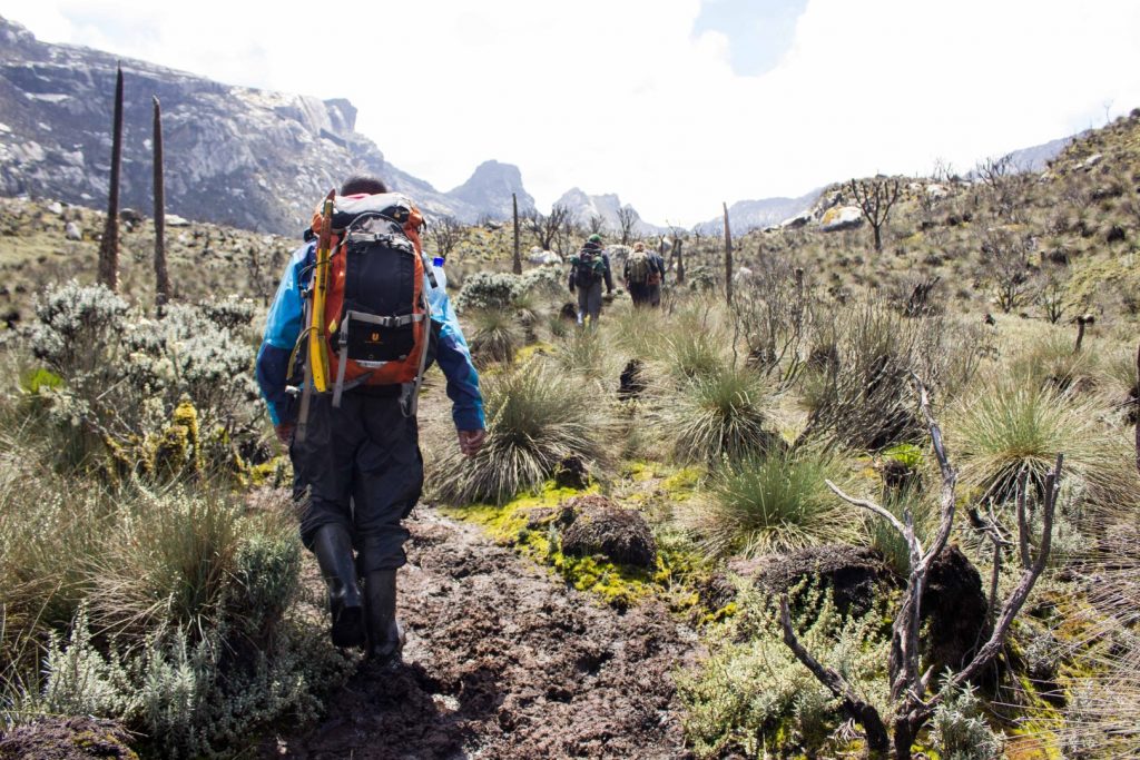
Sitting at an altitude of 5,109m above sea level, Rwenzori Mountain National Park provides a memorable and rewarding experience since it offers an opportunity to see nature at its natural and beautiful state. The unique beautiful mountain vegetation changes from one zone to another, depending on the altitude. The vegetation ranges also change from diverse tropical rainforest to bamboo forests as well as montane cloud forests. Lastly at the top is alpine vegetation hosting rare plant species which cannot live in the any of the lower vegetation zones. The scenic view makes it impressive to encounter, which leaves with you an immense feeling of victory.
Again above the jungle, you will find the bamboo forest that reach up to over 9,500 feet. This bamboo is a type of grass that can grow to over three feet high and will reach over a hundred feet in two months’ time. The forest type is also one of the most exceptional habitant to walk through. Above the bamboo, there is a heath zone, which extends to around 12,000 feet, and is a land that drips lichen-covered heather tree. These trees loom over the ground, covering the mosses and the liverwort. The trees are 40 feet tall and are relatively low shrubs that grow in the Scottish moorlands.
As lamented before ‘the higher you go, the lower it becomes’. On reaching the Alpine zone which is above 12,000 feet, you will find a land which is in its lower sections and filled by the giants. The plants here are so unique only to the Afro-Alpine zone, including gigantic trees, groundsel and the lobelia. The upper point also reaches to the zone that extends to over 14,500 feet, consisting of rocky terrain, that is covered with black lichens and the brown mosses.
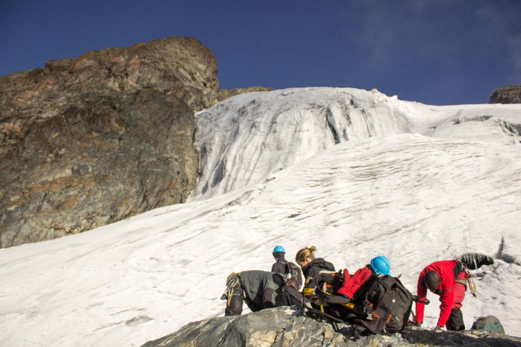
Finally it is a touch, above 14,500 feet there is the Margherita peak at 16,763 feet (5,109m) and it’s the highest point of all these mountain ranges. At the top, there is Mount Stanley, on which Margherita sits, these Rwenzori mountains are covered in snow and storm-swept glaciers. The first ascent of the highest peak was made by Luigi di Savoia, who was the duke of Abruzzi and he was accompanied by J. Petigax, J. Brocherel and C. Ollier in 1906.
Rwenzori mountain ranges are the third highest mountains in Africa at 5,109m, after Kilimanjaro and Mount Kenya. So, the Rwenzori Mountain National Park includes a much larger alpine area than either, covering an area of 99,600 ha of which 70% lies at over 2,500m in height.
